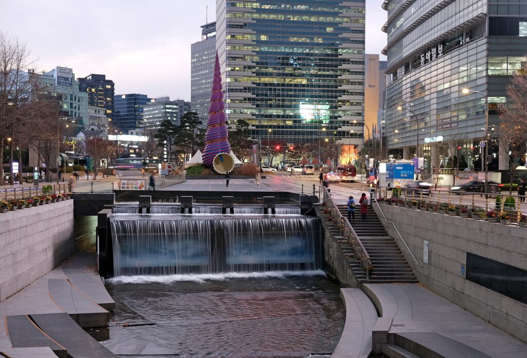
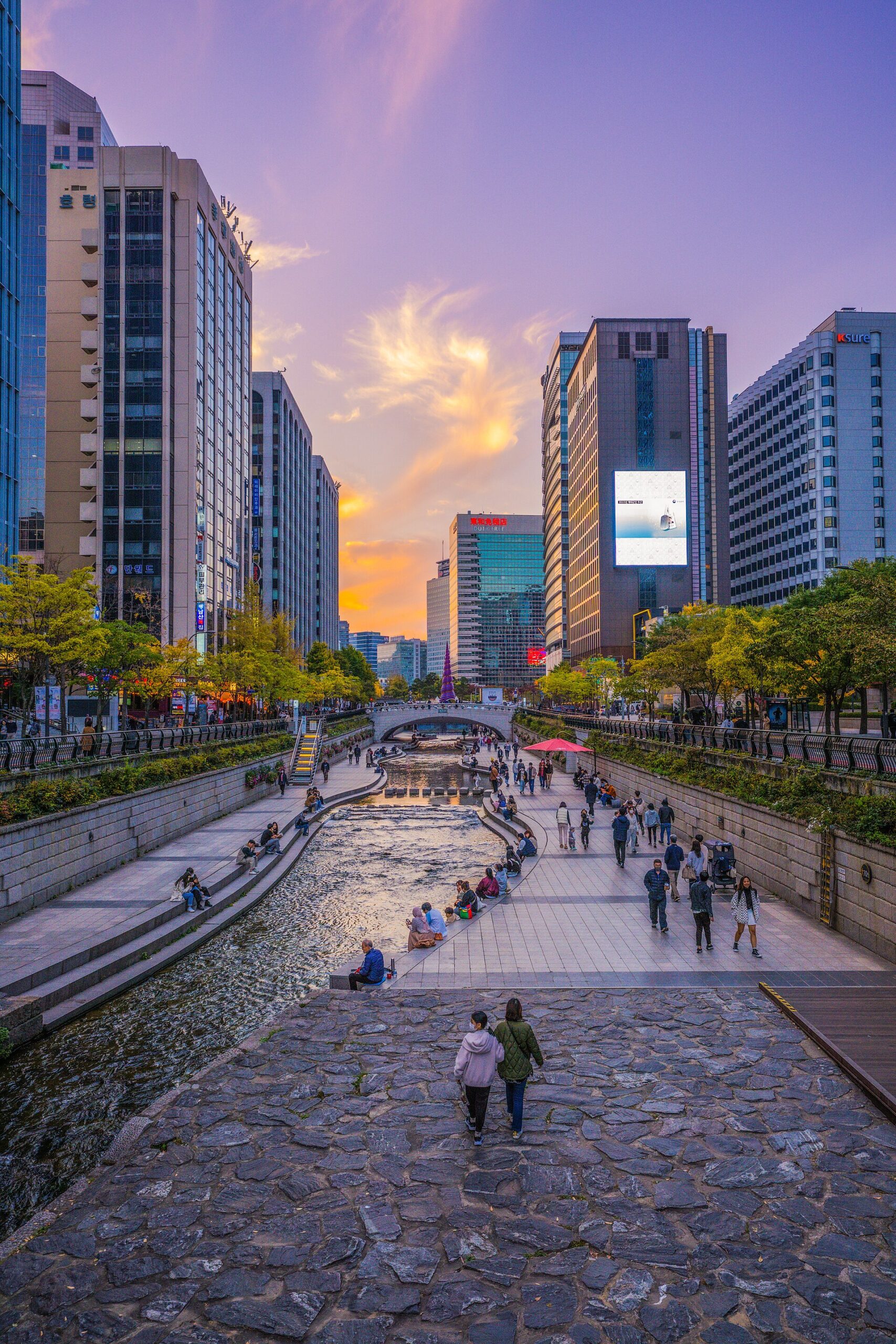
Cheonggyecheon makes it easy to keep walking and surprisingly easy to forget where the walk should end. A short stop at Cheonggye Plaza and an extended route east are different outings. Plan a usable entrance and exit before committing to either.
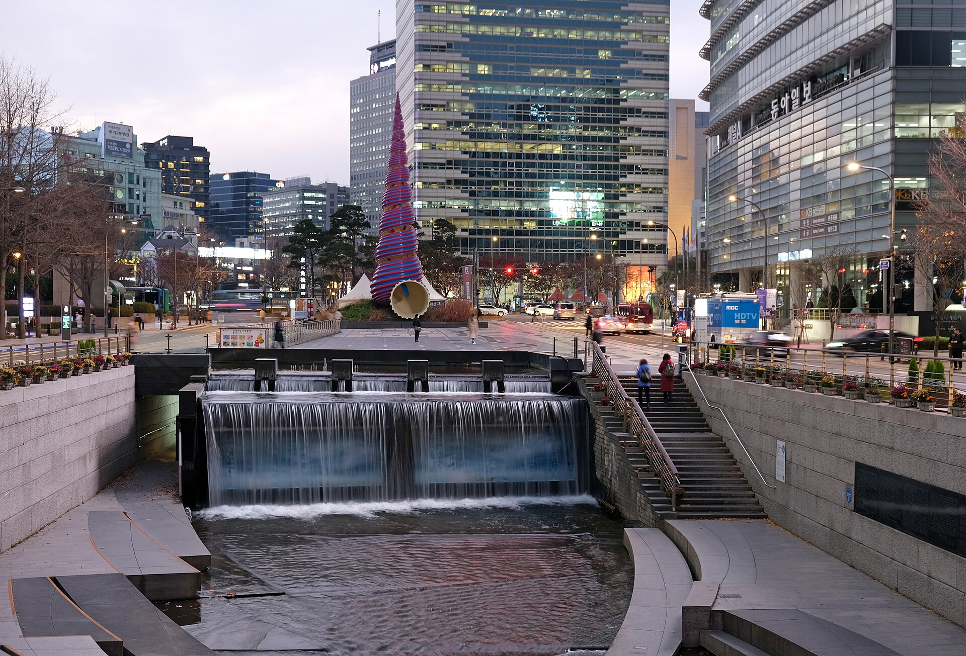
This photo was taken with Fujifilm X-T30 · Original photograph · CC BY-SA 4.0 · Archival photograph; unchanged.
Use Cheonggye Plaza as a specific starting point
The plaza is a practical anchor for seeing the western beginning of the stream. Decide whether to descend to the waterside path or simply view the space from above. Both can fit a visit; the choice depends on the group’s mobility, the weather and what follows. There is no requirement to walk the entire waterway for the stop to be worthwhile.
If your next booking is near Gwanghwamun or Jongno, choose the bridge where you will finish before setting out. Following the water without that decision can leave you walking the same section twice under time pressure. Send companions the starting pin and the intended exit, especially when people may join late. ‘Somewhere along Cheonggyecheon’ is a poor meeting instruction for a linear place.
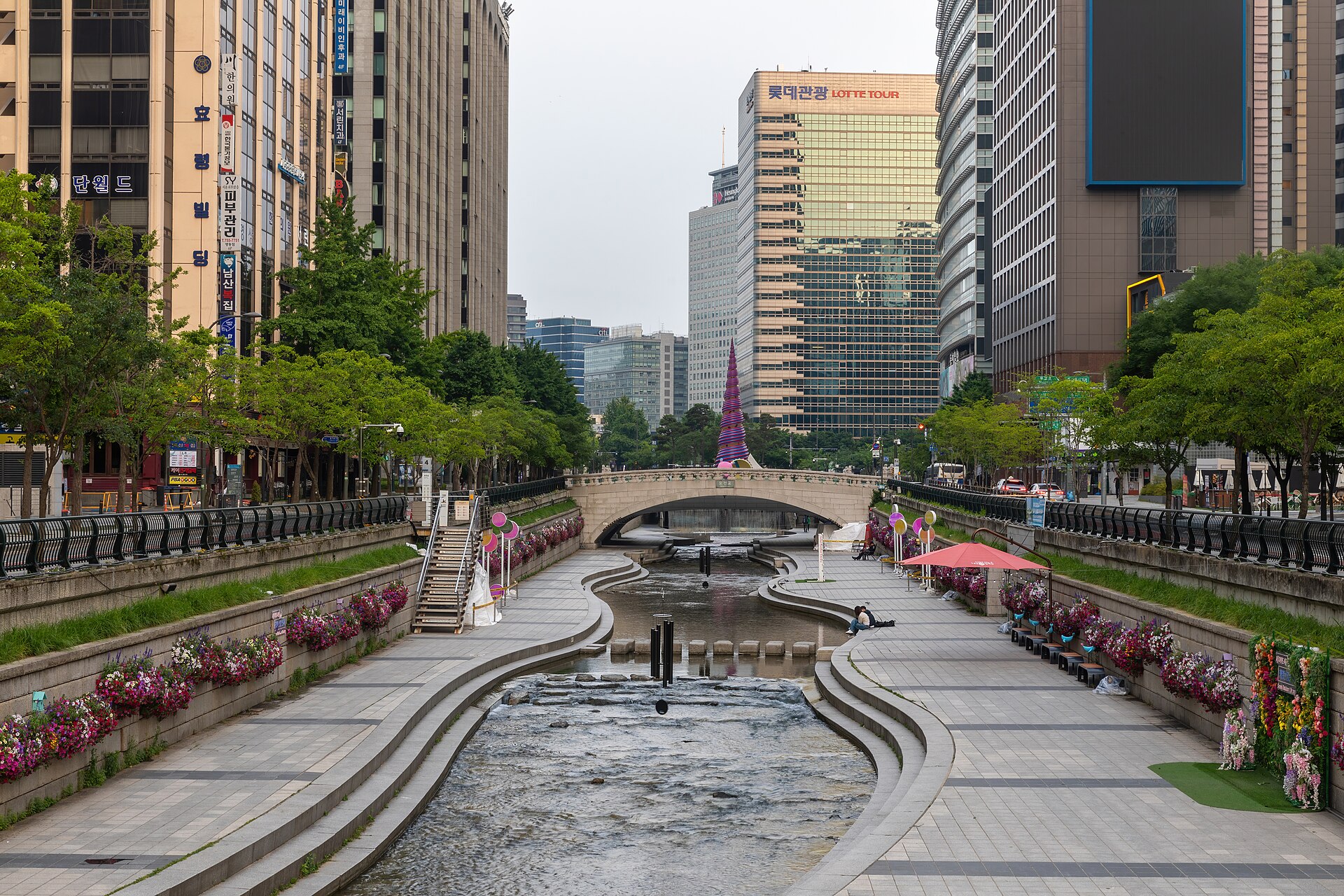
An entrance is not automatically a step-free entrance
The facilities operator distinguishes stairs, sloping access routes and elevators. Finding the nearest stairway does not solve the route for someone using a wheelchair or pushing a stroller. Check both descent and ascent: a convenient way down is only half the journey. The official access map is more useful for this decision than the distance shown between two points on a street map.
Confirm current access on arrival as well. An entrance shown in general information can be affected by a temporary restriction. If the planned way in is unavailable, change to a street-level walk or another confirmed access point instead of improvising across barriers. This advice is about planning a route, not certifying that every listed entrance meets every visitor’s accessibility needs.
Read the restoration as part of the history
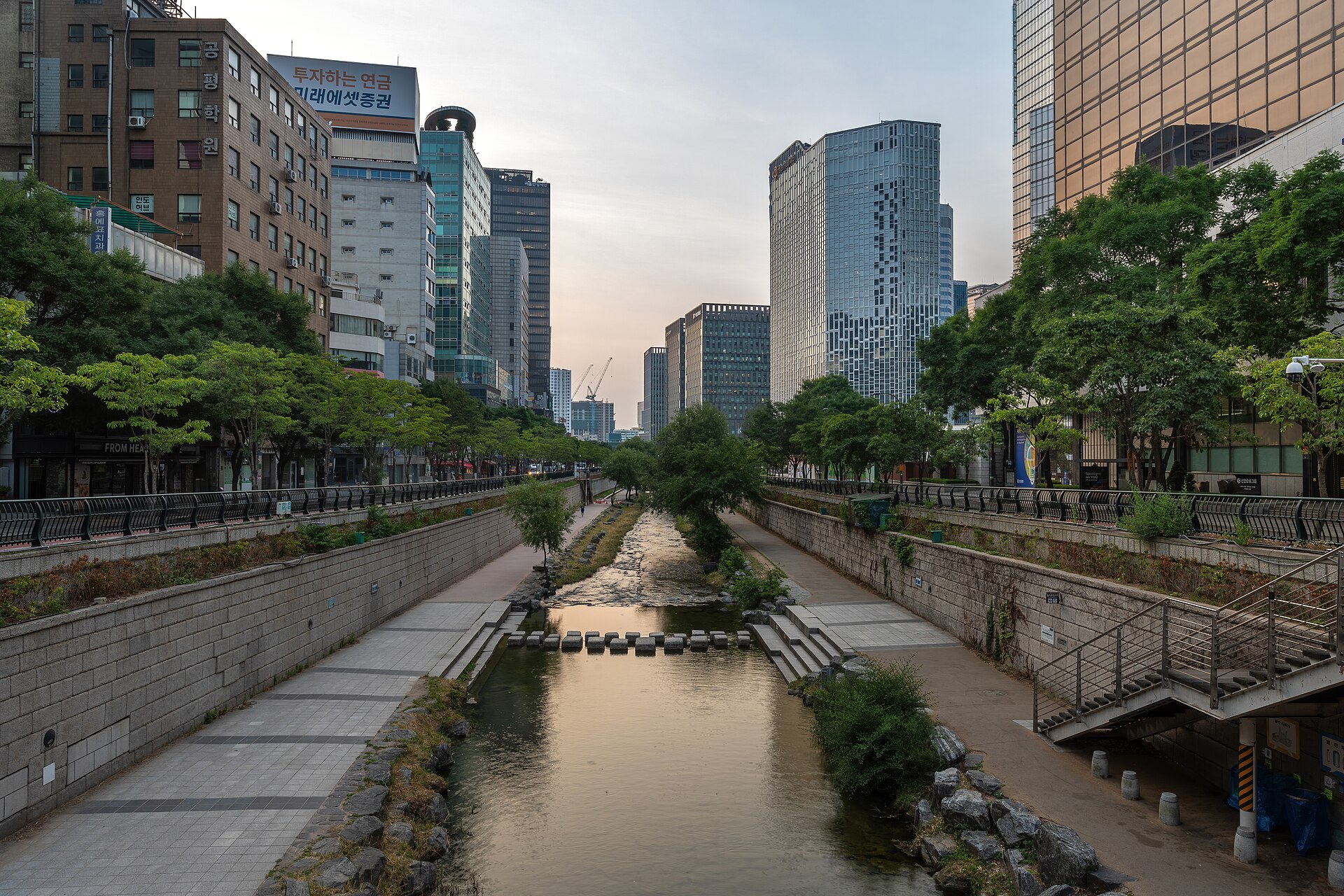
The present stream landscape followed a restoration project carried out from 2003 to 2005. It should not be imagined as a completely untouched waterway surviving unchanged between modern buildings. The removal of the road infrastructure and the treatment of historic features are part of what makes the place interesting. Look for interpretation signs rather than guessing an object’s age from its stone surface.
At a named bridge such as Gwangtonggyo, photograph the explanatory sign as well as the view. This helps keep the different structures distinct when reviewing pictures later. If the transformation of the stream is your main interest, consider the Cheonggyecheon Museum as a separate stop. Check its location first; ‘a museum about the stream’ does not mean a building immediately beside the plaza where you started.
This photo was taken with Sony ILCE-7RM4A · Original photograph · KOGL Type 1 · Archival photograph; unchanged.
Keep a street-level alternative for an unsuitable day
If rain or a closure affects the waterside route, follow current signs and barriers. A bright photograph from a previous visit is not evidence that today’s lower path is available. Agree on a meeting point above the stream so that a change of plan does not leave the group searching for one another at closed entrances.
For a compact outing, choose one bridge or short section and then continue to your next destination at street level. This plan remains useful even when the lower route is unavailable. A long, compulsory circuit is much more fragile. The most important preparation is not a target number of kilometers: it is knowing where to leave the water and how to continue the day without rushing.
Before you go
This route uses Cheonggye Plaza (청계광장) as its western anchor. Consult the facilities operator’s access map for stairs, ramps and elevators. Treat weather-related barriers and current notices as overriding a general route description.
Check the venue’s current visitor information before setting out, especially for closures, access and reservations.