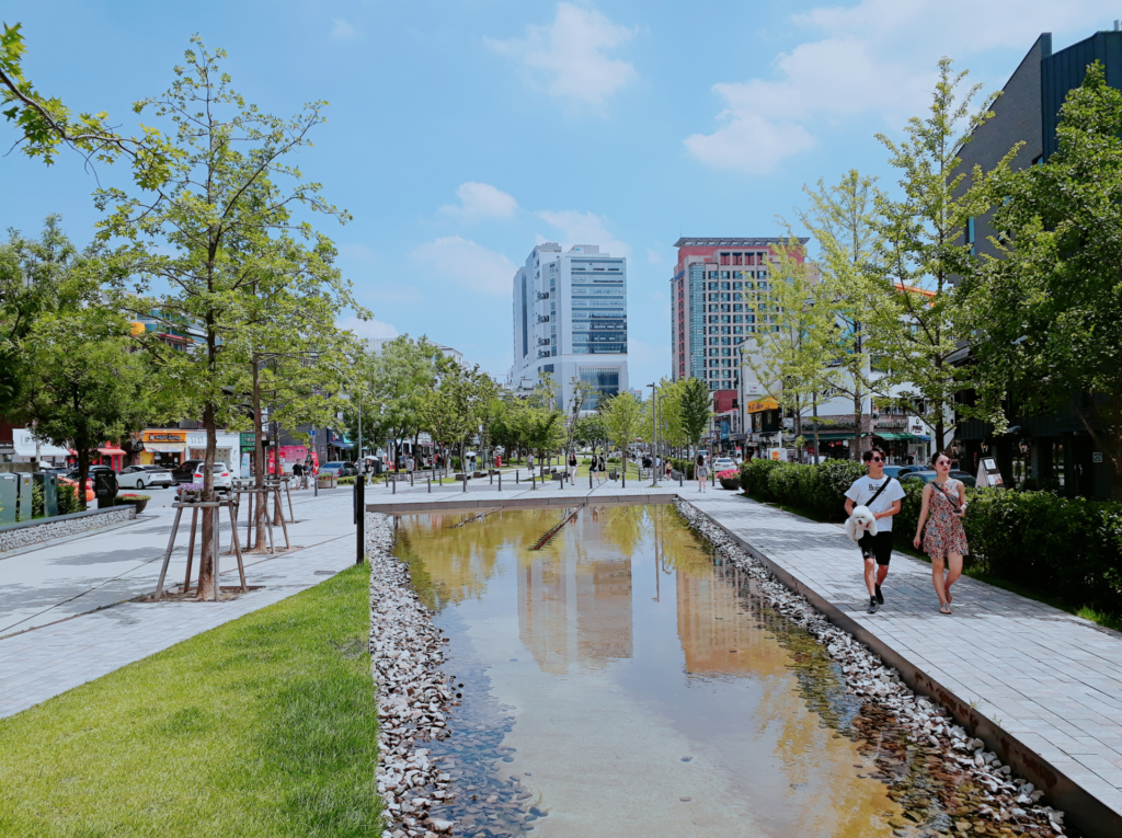
People can mean different places when they say they are going to Gyeongui Line Forest Park. One may picture a short Yeonnam-dong stop near Hongik University Station; another may imagine a longer walk through the former railway corridor. Agree on the section before planning the outing.
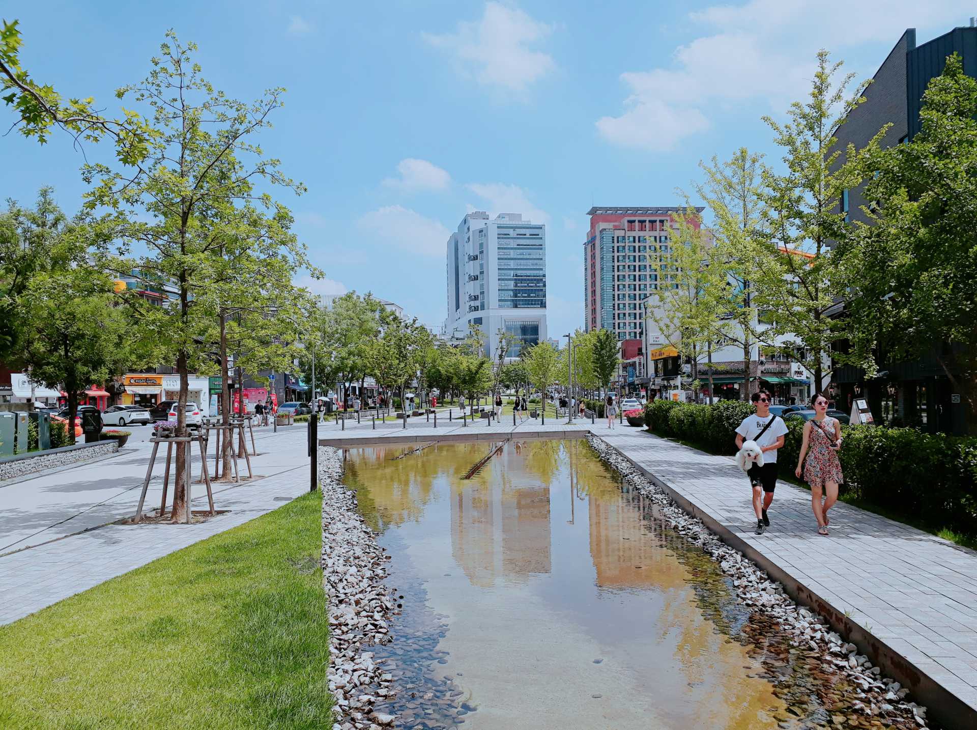
Do not mistake Yeontral Park for the whole route
Seoul’s tourism guide describes a linear park of roughly 6.3 kilometers extending through Mapo toward Yongsan. The popular Yeonnam section is part of that wider space, not a complete description of every section. If you want a brief walk before meeting at a café, there is no reason to turn that into a commitment to cover the entire park.
Send a precise meeting point rather than only the park name or one representative address. Decide whether everyone is arriving through Hongik University Station or joining a different section. For a linear attraction, the point at which you finish matters almost as much as the start. A rough endpoint keeps the walk connected to the rest of the day instead of letting distance decide the plan for you.
Read the railway features as evidence of urban change
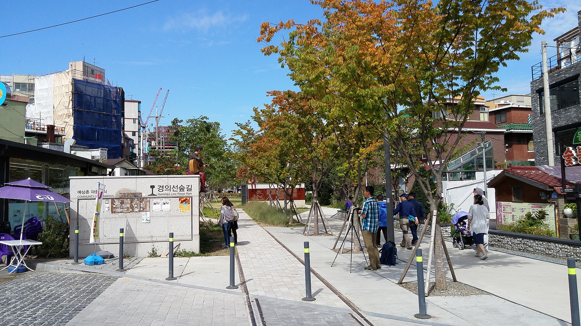
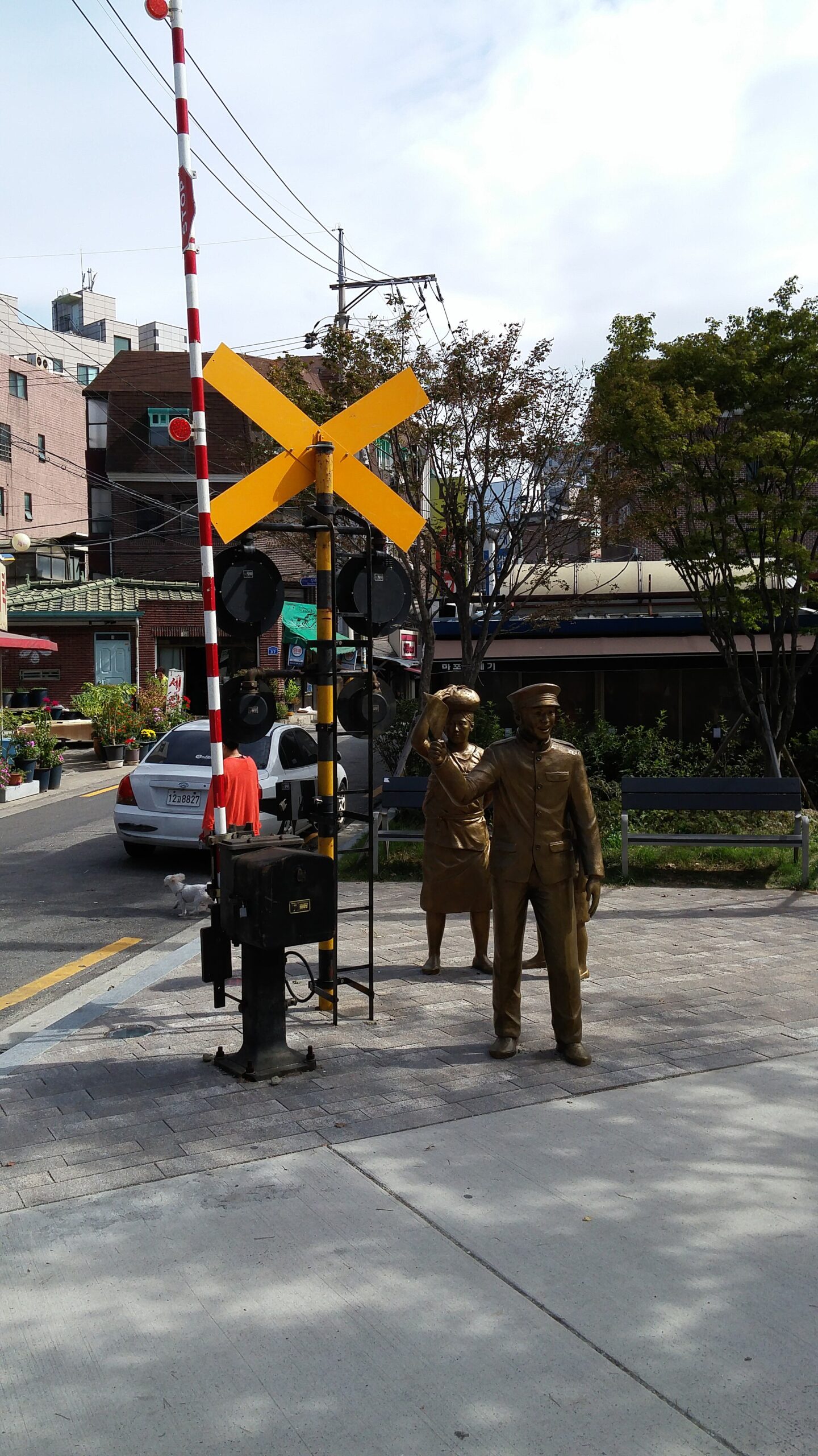
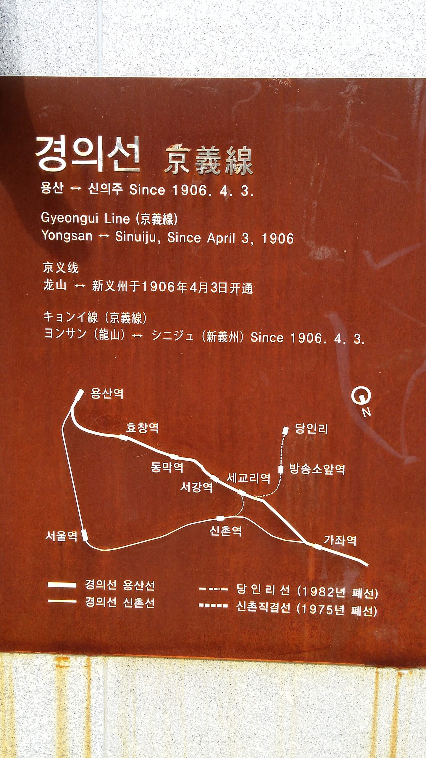
The park emerged as part of the railway moved underground, freeing surface space for public use. Railway-themed features and interpretation can help explain that transformation. When looking at rails or a crossing feature, read whether it survives from an earlier use or has been recreated to tell the story. Do not assume that every visible element remains unchanged in its original position.
Photograph a name or interpretation sign along with the attractive scene. That small habit makes it easier to understand the location afterward instead of remembering only ‘a pretty railway spot.’ With children, the useful question is how one corridor can change from carrying trains to supporting a neighborhood’s walking and resting space. You do not need to invent a detailed operating history to discuss that change.
Check connections if you want a longer walk
‘Linear park’ does not automatically mean a continuous route without streets, crossings or changes in layout. Use the current map and signs to understand the section you plan to walk. Choose an onward transport option before starting a longer route. This is especially helpful when a fixed meal or event makes your end time less flexible than your walking pace.
The corridor also belongs to a working neighborhood of homes and businesses. Keep doorways clear when taking photographs and moderate noise near residential spaces. If a popular seating area is busy, move on rather than treating one picture-perfect position as essential. A more flexible walk fits the park’s everyday use better than a route built around reproducing a single social-media image.
Verify the café separately from the park
A café appearing in an old park article may have changed its hours, name or menu. If that business is the purpose of the outing, confirm its current information directly. If the walk is the purpose, leave room to choose a resting place afterward. This separates a dependable route idea from a commercial detail that can become outdated much faster.
Likewise, the stated overall length is a description, not a target every visitor must reach. Seeing one railway feature, comparing it with the interpretation and sitting for a while can make a complete short visit. Decide whether today is about movement or rest. That choice makes shortening the route an intentional decision rather than a feeling that you have failed to finish the attraction.
Before you go
For the Yeonnam section, plan around Hongik University Station and share a precise park meeting pin. The official guide’s 6.3-kilometer figure describes the wider linear park, not a required walk from that station. Check local signs and each business separately.
Check the venue’s current visitor information before setting out, especially for closures, access and reservations.